
Hike: Matt Davis-Steep Ravine Loop
Where: Mt. Tamalpais State Park
Trailhead: Belvedere Ave, behind the Stinson Beach Fire Station
Level: Moderate
Duration: 4 hours
Length: 6.5 miles
Gear: Icebreaker Women’s Tech T Lite T-Shirt, Darn Tough Light Hiker Micro Crew Socks – Women’s
, REI Flash 18 Pack
, Arc’teryx Delta LT, and Ahnu Sugarpine Waterproof Hiking Boots
Cost of Parking: Free
Stopped by Stinson Beach this past weekend with the boyfriend where we had our first not-date, and decided to cheesily celebrate our year and a half anniversary with a hike, mini picnic and wine.
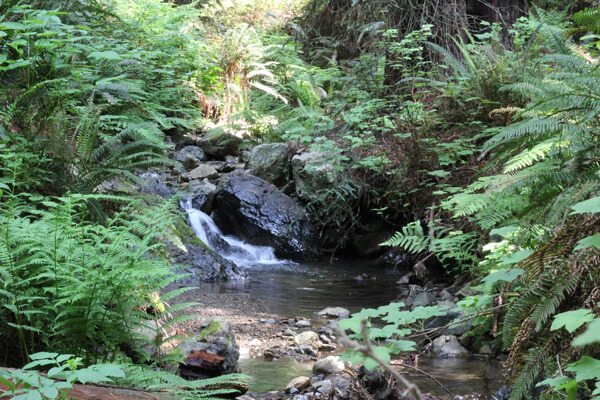
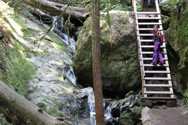
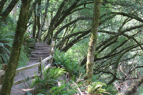
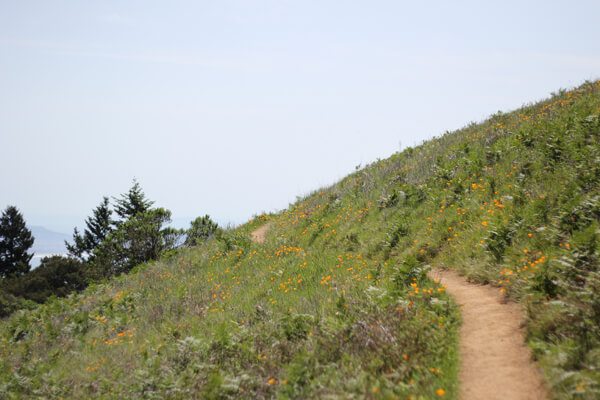
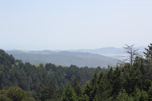
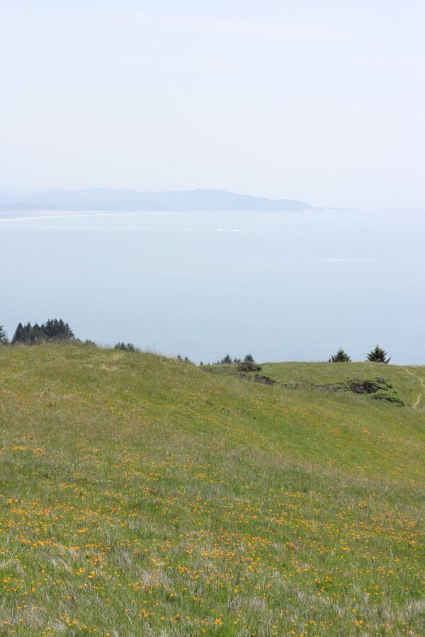
We opted to take the Matt Davis-Steep Ravine Loop and actually finish it this time with no detours to find the ocean. We followed this hike on EveryTrail, starting with Steep Ravine and redwoods and waterfalls and crossed green hills dotted with wildflowers, and ended on Matt Davis next to the fire station.
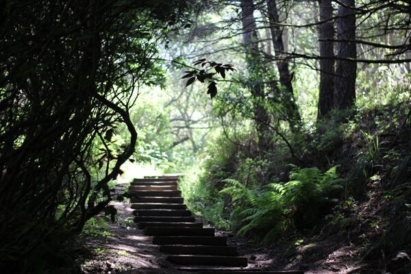
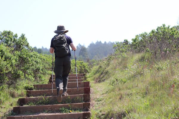
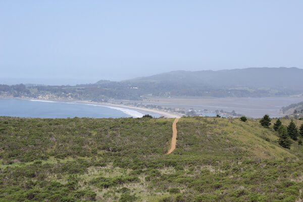
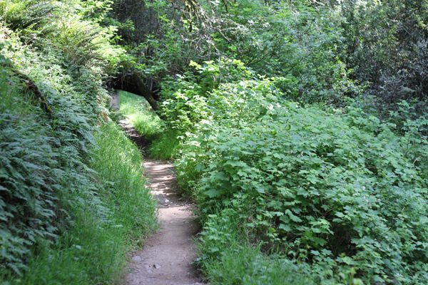
Photos are worth a thousand words, so I’ll let those do the talking.

Last updated on February 23, 2016.