Hike: Five Finger Falls
Where: Forest of Nisene Marks
Trailhead: Porter Family Picnic Area
Level: Moderate
Duration: 5 hours
Length: 10.2 miles
Gear: Icebreaker Women’s Tech T Lite T-Shirt, Darn Tough Light Hiker Micro Crew Socks – Women’s
, REI Flash 18 Pack
, Ahnu Sugarpine Boots, Outdoor Research Contour Shorts, and Black Diamond Ultra Distance Trekking Poles
Cost of Parking: $8
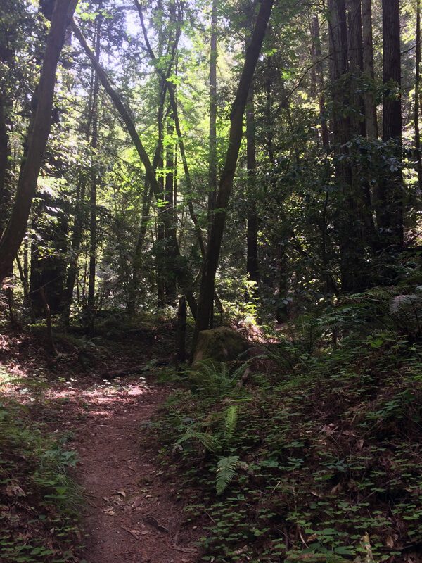
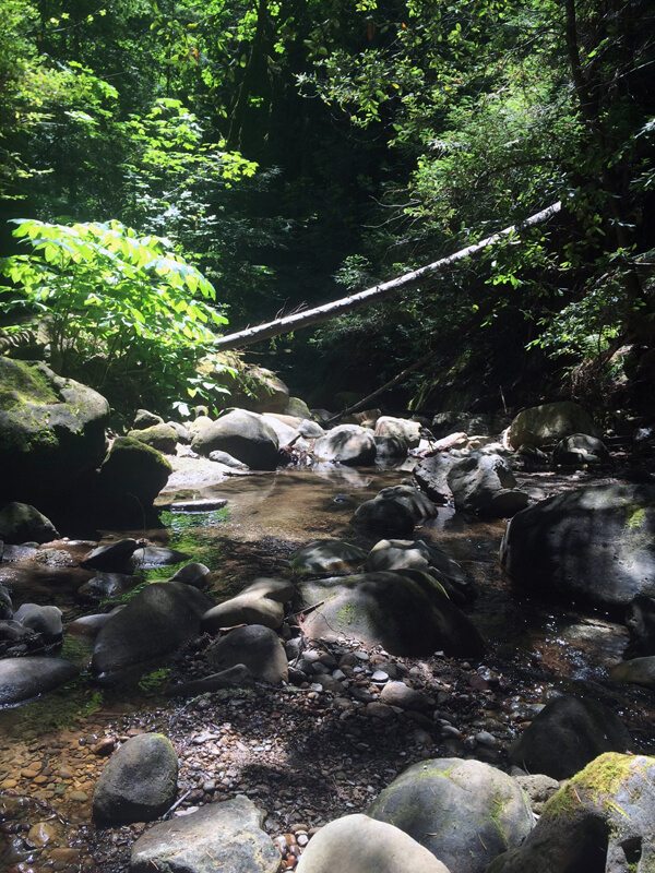
The Forest of Nisene Marks in Aptos, CA is one of those little known gems in the Bay Area. Trails wind through the Santa Cruz Mountains under second-growth redwoods, next to trickling creeks.
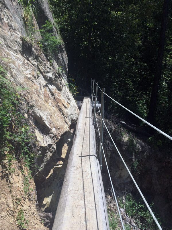
I set off to explore Five Finger Falls here after hearing many great things about it. The trail was long and semi-strenuous. I started at the Porter Famil Picnic Area and headed up the Aptos Creek Fire Road for a little over a mile. From there, there was a sign to Aptos Creek Trail out to Five Finger Falls. The hike begins off fairly mellow, but around 4 miles out, it begins to wind up some steep switchbacks.
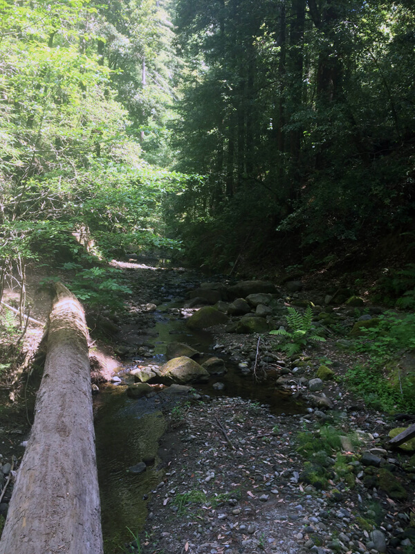
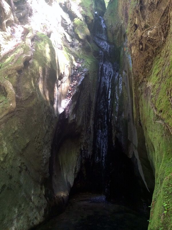
The falls and Aptos Creek were flowing, but barely! The falls were just a small trickle into a basin of water. It was beautiful, but a little disappointing. This is a hike I will want to do again after torrential downpour to really experience the magnificence of the falls.
Last updated on February 23, 2016.

