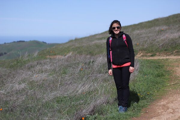
After countless soaked walks to work and sloshing around on muddy trails in the past year, I finally decided to pull the trigger on a pair of rain pants. My requirements? Petite sizing!
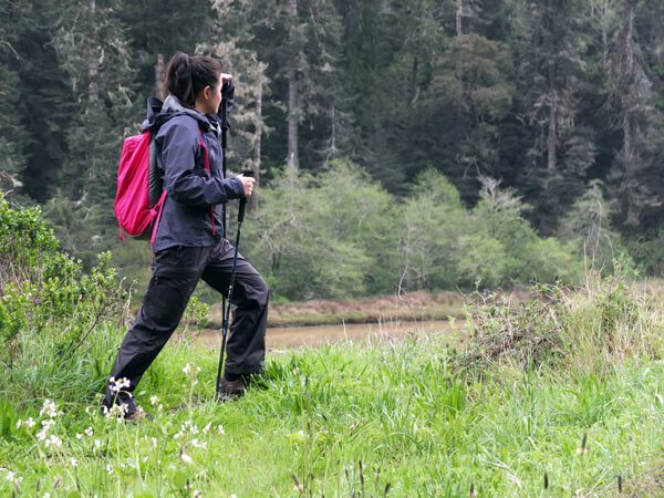
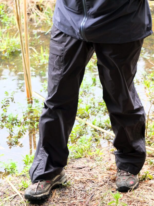
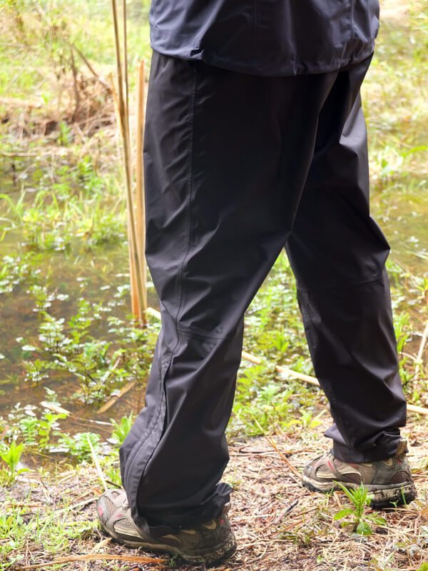
After scouring the web and procuring a 20% off coupon at REI, the Sierra Designs Hurricane Pants came home with me. I like them. They keep me dry; they get the job done. And they don’t drag on the floor because they come in petite sizes! (I’m five feet tall, for the record.)
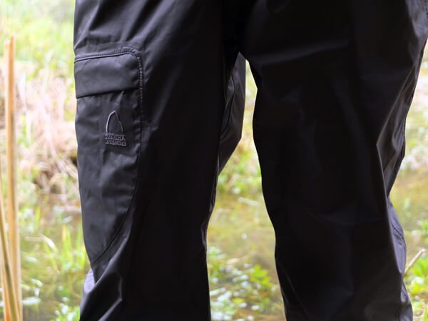
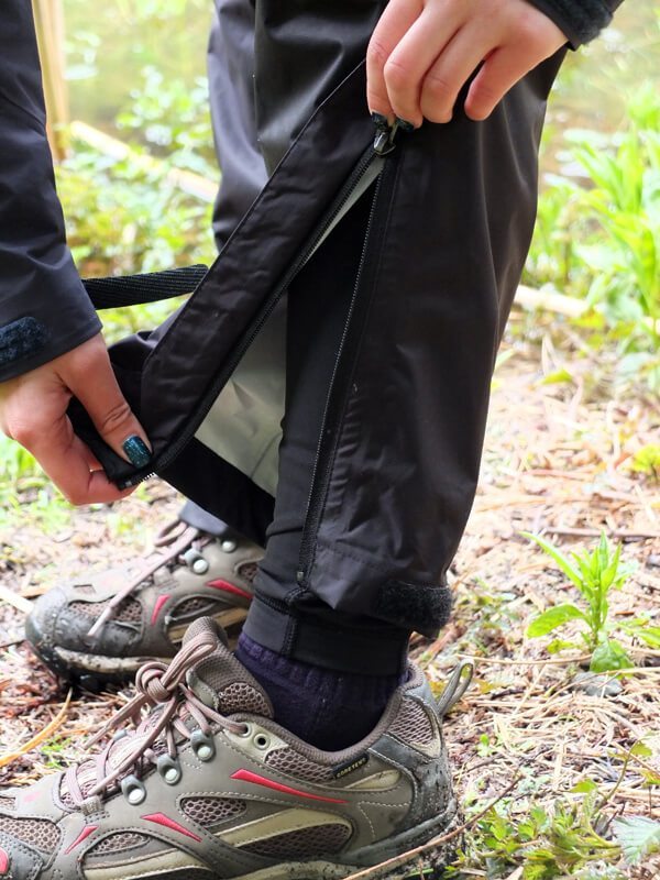
The pants have an elastic waistband, keeping them securely on your body. Oh, and the waistband doesn’t give you muffin-top either! Added bonus. The pants have a pocket on the right-hand side of the pants, embroidered with a Sierra Designs logo. The legs of the pants have calf-zips and velcro closures to allow the wearer to get in and out of them without removing boots. These also work as adequate leg vents.
At 7 oz, these won’t add a significant amount of weight for those days where it just might rain. This packs down fairly small, and comes with a stuff sack, though I have since lost the stuff sack.
For 2014, Sierra Designs has updated the Hurricane pants even more with a built in belt, better waterproofing, a front fly, and it zips into its own pocket. They also managed to shave .5 oz off of the weight.
Buy through Sierra Designs, REI, or Moosejaw
for $69.